Accurate, reliable land surveying services tailored to your needs.
Innovative Solutions
Cutting-edge geo-spatial solutions to drive your project's success.
Expert Consultation
Strategic guidance and support from experienced professionals.
About us
Navigating Your Development Journey with Precision & Accuracy.
Welcome to Compass Land Surveyors. We are a professional land surveying firm. We provide accurate boundary, topographical, aerial, sectional title, and construction surveys as well as subdivisions and land development services across residential, commercial, agricultural and public sector projects.
Cadastral Surveys involve the accurate demarcation of property boundaries, beacons, servitudes, and the subdivision & consolidation of land parcels registered within the South African Deeds Office system.
General Plans
Property Subdivisions
Property Consolidations
Lease Areas
Servitudes
Proclamation Diagrams
Public Places & Streets Closures
Excision of Agricultural Holdings
02.
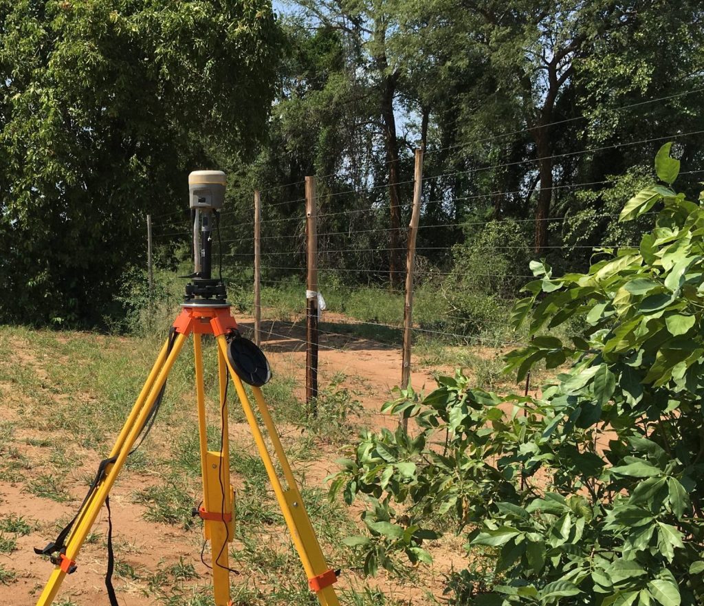
Control Surveys
Control Surveys establish fundamental horizontal and vertical position data, known as datums.
Establishment of Site and Project Benchmarks
Ground Control Points (GCPs) for Aerial Mapping
Levelling Routes of New and Existing Infrastructure
Conversion of Geospatial data between various Datums & Systems
03.
Construction & Engineering Surveys
Construction and Engineering Surveys are conducted to support the planning, engineering design and construction of infrastructure such as buildings, roads, bridges, tunnels, power lines, pipelines, and railways etc. These surveys include profiling, volume calculations, and area assessments to ensure accurate positioning of planned or designed structures.
Staking Out Surveys
Setting Out Surveys
Precise Engineering Surveys
Verify the location of structures for Construction purposes